7 Train Stops Map Connects NYC Boroughs
- 1.
What’s the Deal with the 7 Train Stops Map, Anyway?
- 2.
Manhattan Marvels: Where Does the 7 Train Actually Stop?
- 3.
What’s the Deal with the 7 Train Stops Map, Anyway?
- 4.
Manhattan Marvels: Where Does the 7 Train Actually Stop?
- 5.
Queens, My Queens: A Deep Dive into the Eastern Stretch
- 6.
Is the 7 Train the Slowpoke of the Subway System?
- 7.
Circle or Diamond? Decoding the 7 Train’s Secret Language
- 8.
Your Direct Ticket to the Crossroads of the World
- 9.
A Local’s Guide to the Best Pit Stops Along the Route
- 10.
By the Numbers: Stats That’ll Blow Your Mind
- 11.
From the Horse’s Mouth: What Riders Really Say
- 12.
What’s the Deal with the 7 Train Stops Map, Anyway?
- 13.
What’s the Deal with the 7 Train Stops Map, Anyway?
- 14.
Manhattan Marvels: Where Does the 7 Train Actually Stop?
- 15.
Queens, My Queens: A Deep Dive into the Eastern Stretch
- 16.
Is the 7 Train the Slowpoke of the Subway System?
- 17.
Circle or Diamond? Decoding the 7 Train’s Secret Language
- 18.
Your Direct Ticket to the Crossroads of the World
- 19.
A Local’s Guide to the Best Pit Stops Along the Route
- 20.
By the Numbers: Stats That’ll Blow Your Mind
- 21.
From the Horse’s Mouth: What Riders Really Say
- 22.
Connectin’ the Dots: Your Next Steps on the Subway Life Journey
Table of Contents
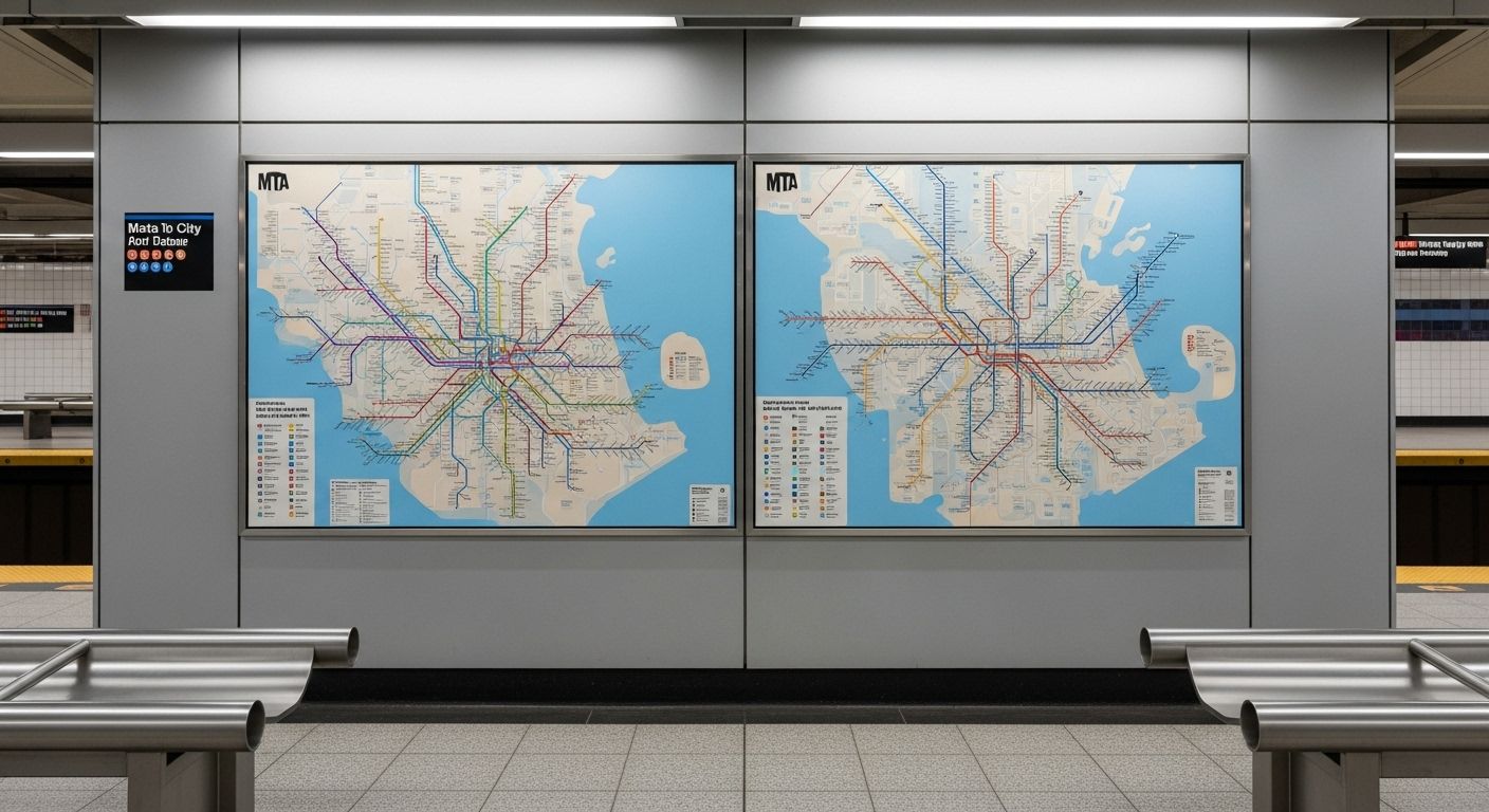
7 train stops map
What’s the Deal with the 7 Train Stops Map, Anyway?
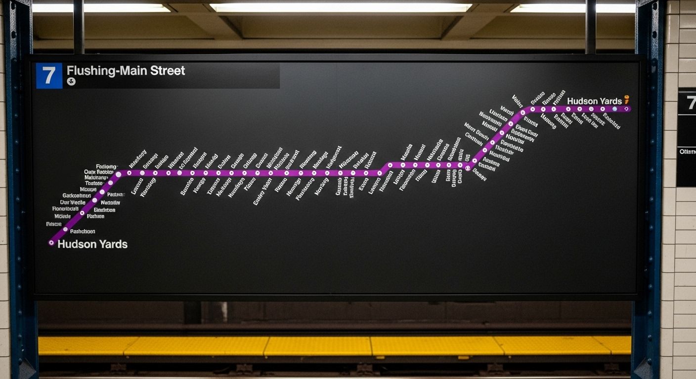
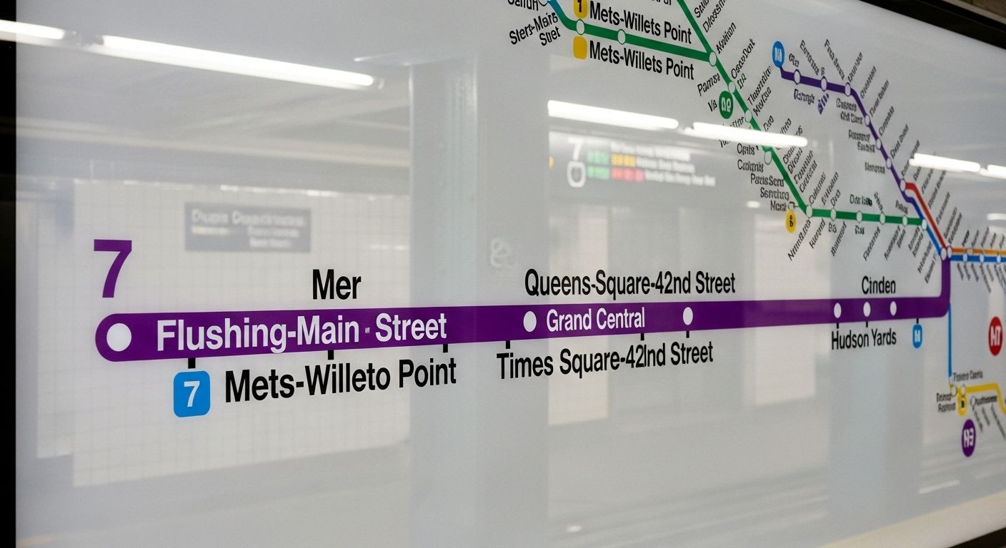
Ever stared at a 7 train stops map and felt like you were decipherin’ an ancient scroll? Yeah, us too. It’s like the MTA tossed a bunch of station names on a green line and called it a day, but hey, that’s New York for ya—chaotic, beautiful, and somehow it all just *works*. The 7 train stops map is your golden ticket to seein’ the real deal NYC, from the neon buzz of Times Square to the steamin’ dumpling joints in Flushing. This ain’t no tourist trap hop; this is the lifeline for hundreds of thousands of folks who call Queens and Manhattan home. The full route runs 24/7 between Flushing-Main St in Queens and 34th Street–Hudson Yards in Chelsea, makin’ all stops along the way [[1]]. So, whether you’re headin’ to catch a Mets game or just tryna find the best momo this side of the East River, the 7 train stops map is your new best friend.
Manhattan Marvels: Where Does the 7 Train Actually Stop?
Alright, let’s get down to brass tacks. What are the stops on the 7 train in Manhattan? It ain’t a long list, but every stop packs a punch. Kickin’ things off at the western end, you got 34th Street–Hudson Yards, which is basically the shiny new kid on the block with all them fancy shops and the Vessel (RIP, but the view’s still fire). Then you scoot over to 34th Street–11th Avenue, which Ever stared at a 7 train stops map and felt like you were decipherin’ an ancient scroll? Yeah, us too. It’s like the MTA tossed a bunch of station names on a green line and called it a day, but hey, that’s New York for ya—chaotic, beautiful, and somehow it all just *works*. The 7 train stops map is your golden ticket to seein’ the real deal NYC, from the neon buzz of Times Square to the steamin’ dumpling joints in Flushing. This ain’t no tourist trap hop; this is the lifeline for hundreds of thousands of folks who call Queens and Manhattan home. The full route runs 24/7 between Flushing-Main St in Queens and 34th Street–Hudson Yards in Chelsea, makin’ all stops along the way [[1]]. So, whether you’re headin’ to catch a Mets game or just tryna find the best momo this side of the East River, the 7 train stops map is your new best friend. Alright, let’s get down to brass tacks. What are the stops on the 7 train in Manhattan? It ain’t a long list, but every stop packs a punch. Kickin’ things off at the western end, you got 34th Street–Hudson Yards, which is basically the shiny new kid on the block with all them fancy shops and the Vessel (RIP, but the view’s still fire). Then you scoot over to 34th Street–11th Avenue, which is handy if you’re playin’ hooky from work to check out the High Line. Next up is the big one: Times Square–42nd Street. Yeah, that’s right—the 7 train absolutely takes you straight to the heart of the Great White Way [[32]]. You’ll pop out right under all that blinding neon, ready to either embrace the chaos or run for the hills. After that, it’s 5th Avenue, which is perfect for a quick peek at the NY Public Library lions before you head back underground. And finally, Grand Central–42nd Street, where you can connect to, like, half the subway system and grab a legendary $1 pizza slice. That’s the whole Manhattan shebang on the 7 train stops map, folks. Short, sweet, and packed with iconic energy. Now, this is where the 7 train stops map really starts singin’. Once you cross the East River, you’re in a whole ‘nother world. The Queens leg of the journey is where you see the true mosaic of New York City. You’ll roll through Hunters Point Avenue, where the old factories are turnin’ into hip lofts, then Vernon Boulevard–Jackson Avenue, your gateway to Gantry Plaza State Park and those killer views of the Manhattan skyline. Keep goin’ and you hit Court Square, a major transfer hub that feels like a beehive on espresso. Then it’s a string of vibrant neighborhoods: 46th Street in Sunnyside, 52nd Street, 61st Street–Woodside (hello, Irish pubs and Filipino bakeries!), and 69th Street. Don’t sleep on 74th Street–Broadway—it’s a massive transit center in Jackson Heights, one of the most diverse spots on the planet. Then you cruise past 82nd Street, 90th Street, 103rd Street–Corona Plaza, and 111th Street, each one a universe of its own. Finally, you reach the terminus: Flushing–Main Street. This place is an absolute sensory overload in the best way possible—street vendors, markets, and enough food to make your stomach do a happy dance. The 7 train stops map through Queens is less a commute and more a cultural expedition. Let’s address the elephant in the tunnel: is the 7 train the slowest subway line in NYC? Well, hold onto your MetroCards, ‘cause the answer might surprise ya. While the 7 can feel sluggish during rush hour when it’s packed tighter than a sardine tin, it actually ain't wearin’ the crown for the city’s slowest. Recent data points its bony finger at the B train as the most delayed line in the system, with the C and F trains also not far behind [[11], [13]]. The 7 train, especially the local service, has its fair share of stops, which naturally slows it down, but it’s pretty reliable for what it is. And let’s not forget the weekday rush-hour express service (the diamond 7) that skips a bunch of stops in Queens, givin’ you a much quicker ride to Manhattan. So, while you might wanna bring a good book for the local crawl, the 7 train stops map doesn’t represent the absolute slowest ride in town. It’s just… thorough. You’ve seen it on the platform signs and on the front of the train itself: sometimes the 7 is in a green circle, and other times it’s in a red diamond. What gives? Is the 7 train a circle or diamond? The answer is… both! It’s the MTA’s slick way of tellin’ you what kind of service you’re about to board. A green circle around the 7 means it’s the standard local train, which will stop at every single station on the 7 train stops map. But if you see that red diamond, baby, you’ve hit the jackpot—that’s the express service. The diamond 7 only runs during weekday rush hours in the peak direction (toward Manhattan in the morning, toward Flushing in the evening), and it skips a bunch of the middle stops in Queens, like 46th, 52nd, and 61st Streets [[24], [28]]. So keep your eyes peeled on that sign; that little shape can save you a good ten minutes of your life. It’s like the subway’s own secret code, and now you’re in on it. Here’s a question we get asked more than “where’s the nearest bodega?”: does the 7 train take you to Times Square? The answer is a resounding, earth-shatterin’ YES! The Times Square–42nd Street station is a major stop on the 7 train stops map [[32]]. In fact, it’s one of the most important connections on the entire line. You’ll find the 7 train platforms deep in the belly of the massive Times Square complex, sharing space with a whole bunch of other lines (1, 2, 3, N, Q, R, W, and the S shuttle). So whether you’re headin’ to see a Broadway show, meet a date under the TKTS stairs, or just soak in the glorious, overwhelming madness of it all, the 7 train is your direct, no-transfer-needed chariot. Just hop on anywhere in Queens or at Hudson Yards, and you’ll be smack dab in the middle of the action. It’s probably the most useful piece of info on the entire 7 train stops map for any visitor or new New Yorker. Forget the guidebooks for a sec. If you really wanna live like a local, you gotta know the hidden gems tucked away near the stations on the 7 train stops map. Here’s our hot list: 7 train stops map
What’s the Deal with the 7 Train Stops Map, Anyway?
Manhattan Marvels: Where Does the 7 Train Actually Stop?
Queens, My Queens: A Deep Dive into the Eastern Stretch
Is the 7 Train the Slowpoke of the Subway System?
Circle or Diamond? Decoding the 7 Train’s Secret Language
Your Direct Ticket to the Crossroads of the World
A Local’s Guide to the Best Pit Stops Along the Route
This is the real magic of the 7 train stops map—it’s not just a way to get from A to B, it’s a curated tour of the city’s most authentic flavors and vibes. You could spend a whole month just exploring the blocks around each stop and never get bored.
By the Numbers: Stats That’ll Blow Your Mind
Let’s get a little nerdy with some cold, hard facts about the 7 train stops map. This line is a beast.
| Metric | Detail |
|---|---|
| Total Stations | 22 (from Flushing-Main St to 34th St–Hudson Yards) [[4]] |
| Manhattan Stations | 5 |
| Queens Stations | 17 |
| Average Daily Ridership (Pre-Pandemic) | Over 250,000 riders |
| Length of Route | Approx. 8.5 miles (13.7 km) |
| End-to-End Travel Time (Local) | Roughly 35-40 minutes |
From the Horse’s Mouth: What Riders Really Say
We couldn’t write a proper piece on the 7 train stops map without hearin’ from the folks who ride it every day. We asked a few regulars what they love (and hate) about their daily commute. One woman from Woodside told us, “It’s my lifeline. I can be in Midtown for work in 20 minutes, and back home for dinner with my family. The 7 train stops map is literally my roadmap to life.” A college student from Jackson Heights chimed in, “Yeah, it gets crowded, but it’s so convenient. I can go from my apartment to a concert at Madison Square Garden with just one transfer. Can’t beat that.” Of course, there were complaints about weekend delays and the occasional “suspicious package” that shuts everything down, but the overall vibe was one of grudging affection. As one old-timer put it, “It’s not pretty, but it’s ours. The 7 train stops map shows you Ever stared at a 7 train stops map and felt like you were decipherin’ an ancient scroll? Yeah, us too. It’s like the MTA tossed a bunch of station names on a green line and called it a day, but hey, that’s New York for ya—chaotic, beautiful, and somehow it all just *works*. The 7 train stops map is your golden ticket to seein’ the real deal NYC, from the neon buzz of Times Ever stared at a 7 train stops map and felt like you were decipherin’ an ancient scroll? Yeah, us too. It’s like the MTA tossed a bunch of station names on a green line and called it a day, but hey, that’s New York for ya—chaotic, beautiful, and somehow it all just *works*. The 7 train stops map is your golden ticket to seein’ the real deal NYC, from the neon buzz of Times Square to the steamin’ dumpling joints in Flushing. This ain’t no tourist trap hop; this is the lifeline for hundreds of thousands of folks who call Queens and Manhattan home. The full route runs 24/7 between Flushing-Main St in Queens and 34th Street–Hudson Yards in Chelsea, makin’ all stops along the way [[1]]. So, whether you’re headin’ to catch a Mets game or just tryna find the best momo this side of the East River, the 7 train stops map is your new best friend. Alright, let’s get down to brass tacks. What are the stops on the 7 train in Manhattan? It ain’t a long list, but every stop packs a punch. Kickin’ things off at the western end, you got 34th Street–Hudson Yards, which is basically the shiny new kid on the block with all them fancy shops and the Vessel (RIP, but the view’s still fire). Then you scoot over to 34th Street–11th Avenue, which is handy if you’re playin’ hooky from work to check out the High Line. Next up is the big one: Times Square–42nd Street. Yeah, that’s right—the 7 train absolutely takes you straight to the heart of the Great White Way [[32]]. You’ll pop out right under all that blinding neon, ready to either embrace the chaos or run for the hills. After that, it’s 5th Avenue, which is perfect for a quick peek at the NY Public Library lions before you head back underground. And finally, Grand Central–42nd Street, where you can connect to, like, half the subway system and grab a legendary $1 pizza slice. That’s the whole Manhattan shebang on the 7 train stops map, folks. Short, sweet, and packed with iconic energy. Now, this is where the 7 train stops map really starts singin’. Once you cross the East River, you’re in a whole ‘nother world. The Queens leg of the journey is where you see the true mosaic of New York City. You’ll roll through Hunters Point Avenue, where the old factories are turnin’ into hip lofts, then Vernon Boulevard–Jackson Avenue, your gateway to Gantry Plaza State Park and those killer views of the Manhattan skyline. Keep goin’ and you hit Court Square, a major transfer hub that feels like a beehive on espresso. Then it’s a string of vibrant neighborhoods: 46th Street in Sunnyside, 52nd Street, 61st Street–Woodside (hello, Irish pubs and Filipino bakeries!), and 69th Street. Don’t sleep on 74th Street–Broadway—it’s a massive transit center in Jackson Heights, one of the most diverse spots on the planet. Then you cruise past 82nd Street, 90th Street, 103rd Street–Corona Plaza, and 111th Street, each one a universe of its own. Finally, you reach the terminus: Flushing–Main Street. This place is an absolute sensory overload in the best way possible—street vendors, markets, and enough food to make your stomach do a happy dance. The 7 train stops map through Queens is less a commute and more a cultural expedition. Let’s address the elephant in the tunnel: is the 7 train the slowest subway line in NYC? Well, hold onto your MetroCards, ‘cause the answer might surprise ya. While the 7 can feel sluggish during rush hour when it’s packed tighter than a sardine tin, it actually ain't wearin’ the crown for the city’s slowest. Recent data points its bony finger at the B train as the most delayed line in the system, with the C and F trains also not far behind [[11], [13]]. The 7 train, especially the local service, has its fair share of stops, which naturally slows it down, but it’s pretty reliable for what it is. And let’s not forget the weekday rush-hour express service (the diamond 7) that skips a bunch of stops in Queens, givin’ you a much quicker ride to Manhattan. So, while you might wanna bring a good book for the local crawl, the 7 train stops map doesn’t represent the absolute slowest ride in town. It’s just… thorough. You’ve seen it on the platform signs and on the front of the train itself: sometimes the 7 is in a green circle, and other times it’s in a red diamond. What gives? Is the 7 train a circle or diamond? The answer is… both! It’s the MTA’s slick way of tellin’ you what kind of service you’re about to board. A green circle around the 7 means it’s the standard local train, which will stop at every single station on the 7 train stops map. But if you see that red diamond, baby, you’ve hit the jackpot—that’s the express service. The diamond 7 only runs during weekday rush hours in the peak direction (toward Manhattan in the morning, toward Flushing in the evening), and it skips a bunch of the middle stops in Queens, like 46th, 52nd, and 61st Streets [[24], [28]]. So keep your eyes peeled on that sign; that little shape can save you a good ten minutes of your life. It’s like the subway’s own secret code, and now you’re in on it. Here’s a question we get asked more than “where’s the nearest bodega?”: does the 7 train take you to Times Square? The answer is a resounding, earth-shatterin’ YES! The Times Square–42nd Street station is a major stop on the 7 train stops map [[32]]. In fact, it’s one of the most important connections on the entire line. You’ll find the 7 train platforms deep in the belly of the massive Times Square complex, sharing space with a whole bunch of other lines (1, 2, 3, N, Q, R, W, and the S shuttle). So whether you’re headin’ to see a Broadway show, meet a date under the TKTS stairs, or just soak in the glorious, overwhelming madness of it all, the 7 train is your direct, no-transfer-needed chariot. Just hop on anywhere in Queens or at Hudson Yards, and you’ll be smack dab in the middle of the action. It’s probably the most useful piece of info on the entire 7 train stops map for any visitor or new New Yorker. Forget the guidebooks for a sec. If you really wanna live like a local, you gotta know the hidden gems tucked away near the stations on the 7 train stops map. Here’s our hot list: Let’s get a little nerdy with some cold, hard facts about the 7 train stops map. This line is a beast. 7 train stops map
What’s the Deal with the 7 Train Stops Map, Anyway?
7 train stops map
What’s the Deal with the 7 Train Stops Map, Anyway?
Manhattan Marvels: Where Does the 7 Train Actually Stop?
Queens, My Queens: A Deep Dive into the Eastern Stretch
Is the 7 Train the Slowpoke of the Subway System?
Circle or Diamond? Decoding the 7 Train’s Secret Language
Your Direct Ticket to the Crossroads of the World
A Local’s Guide to the Best Pit Stops Along the Route
This is the real magic of the 7 train stops map—it’s not just a way to get from A to B, it’s a curated tour of the city’s most authentic flavors and vibes. You could spend a whole month just exploring the blocks around each stop and never get bored.By the Numbers: Stats That’ll Blow Your Mind
These numbers don’t just sit on a page; they represent the daily pulse of the city. Over a quarter of a million people trust the 7 train stops map to get them to work, school, and home every single day. That’s a whole lotta dreams, deadlines, and dumplings bein’ transported on that little green line.Metric Detail Total Stations 22 (from Flushing-Main St to 34th St–Hudson Yards) [[4]] Manhattan Stations 5 Queens Stations 17 Average Daily Ridership (Pre-Pandemic) Over 250,000 riders Length of Route Approx. 8.5 miles (13.7 km) End-to-End Travel Time (Local) Roughly 35-40 minutes
From the Horse’s Mouth: What Riders Really Say
We couldn’t write a proper piece on the 7 train stops map without hearin’ from the folks who ride it every day. We asked a few regulars what they love (and hate) about their daily commute. One woman from Woodside told us, “It’s my lifeline. I can be in Midtown for work in 20 minutes, and back home for dinner with my family. The 7 train stops map is literally my roadmap to life.” A college student from Jackson Heights chimed in, “Yeah, it gets crowded, but it’s so convenient. I can go from my apartment to a concert at Madison Square Garden with just one transfer. Can’t beat that.” Of course, there were complaints about weekend delays and the occasional “suspicious package” that shuts everything down, but the overall vibe was one of grudging affection. As one old-timer put it, “It’s not pretty, but it’s ours. The 7 train stops map shows you the real New York, not the postcard version.” There’s a certain gritty poetry in that, don’t you think?
Connectin’ the Dots: Your Next Steps on the Subway Life Journey
So, you’ve mastered the 7 train stops map. What’s next? Well, the whole NYC subway system is your oyster. If you’re lookin’ for more insider knowledge, maps, and urban explorin’ tips, you’ve come to the right place. Start by headin’ back to our main hub at Subway Life for the full picture. If you’re a map junkie like us, you’ll wanna dive deep into our dedicated Maps section, where we break down every line in the system. And if you’re curious about another iconic Queens line, don’t miss our detailed guide on the J train subway map links urban hotspots. The 7 train stops map is just the beginning of your adventure through the city’s veins. Go forth and explore!
Frequently Asked Questions
What are the stops on the 7 train in Manhattan?
The 7 train stops map shows five stops in Manhattan: 34th Street–Hudson Yards, 34th Street–11th Avenue, Times Square–42nd Street, 5th Avenue, and Grand Central–42nd Street. These stops connect you to major hubs like the Javits Center, the Theater District, and the Grand Central Terminal.
What is the slowest subway line in NYC?
According to recent MTA data, the B train holds the title for the most delayed and least reliable subway line in NYC, not the 7 train. While the local 7 can feel slow due to its many stops, it’s generally considered a dependable service on the 7 train stops map.
Is the 7 train a circle or diamond?
The 7 train can be both! On the 7 train stops map and on train signage, a green circle indicates the standard local service that stops at every station. A red diamond indicates the weekday rush-hour express service that skips several stops in central Queens, providing a faster trip.
Does the 7 train take you to Times Square?
Yes, absolutely! The Times Square–42nd Street station is a key stop on the 7 train stops map. The 7 train provides direct access to the heart of the Theater District, making it one of the most popular routes for tourists and theatergoers alike.
References
- https://en.wikipedia.org/wiki/7_(New_York_City_Subway_service)
- https://www.timeout.com/newyork/news/the-b-train-once-again-earns-the-title-of-most-delayed-subway-line-in-nyc-010226
- https://www.nyctransitforums.com/topic/60614-which-are-the-fastest-and-slowest-subways-in-nyc-all-22-lines-ranked/
- https://www.nydailynews.com/2008/04/01/on-no-7-trains-red-diamond-means-express-a-green-circle-for-local/
- https://en.wikipedia.org/wiki/Times_Square%E2%80%9342nd_Street_station
- https://moovitapp.com/index/en/public_transit-line-7-NYCNJ-121-855111-400162-1