MBTA Train Map Simplifies Boston Routes
- 1.
The T: Boston’s Beating Heart Beneath the Streets
- 2.
Is the T in Boston a Subway? Yep—and More
- 3.
Decoding the Rainbow: What Are the MBTA Lines?
- 4.
How to Read the MBTA Train Map Without Losing Your Mind
- 5.
Seeing the Map IRL: Apps, Paper, and Google Tricks
- 6.
Is There an App for MBTA Subway? Oh, Honey—Several
- 7.
Ridership & Reality: Who’s Ridin’ the T?
- 8.
Neighborhood Gems Only Locals Know
- 9.
Common Confusions (And How to Dodge ‘Em)
- 10.
Navigating Like a Native: Your T Survival Guide
Table of Contents
mbta train map
The T: Boston’s Beating Heart Beneath the Streets
Ever tried explainin’ the mbta train map to someone who thinks “The T” is just a cool nickname for a tee shirt? Bless their heart. Nah, in Boston, “The T” ain’t fashion—it’s lifeline. It’s how students get to class at 8 a.m., how nurses clock in after midnight, how Bruins fans flood North Station wearin’ black and gold like armor. The mbta train map—with its spaghetti tangle of red, orange, blue, and green lines—isn’t just transit; it’s the city’s circulatory system. And yeah, it’s got quirks (lookin’ at you, Green Line branches), but that’s what makes it ours. The mbta train map might not be perfect, but it’s real—like a well-worn Red Sox cap or a Dunkin’ coffee stain on your coat.
Is the T in Boston a Subway? Yep—and More
So—is the T a subway? Short answer: **yes, but also no**. The mbta train map includes true underground subway lines (Red, Orange, Blue), but it also folds in light rail (Green Line), commuter rail, buses, and even ferries [[4]]. The Red, Orange, and Blue Lines run mostly underground in the core, with tunnels older than your grandpa’s thermos. The Green Line? That’s streetcar heritage—part tunnel, part surface, with those iconic low-floor trolleys clankin’ through Back Bay and Fenway. So when folks say “subway,” they usually mean the heavy rail trio, but the full mbta train map is a whole ecosystem. Think of it like Boston itself: layered, historic, and stubbornly proud of its messiness.
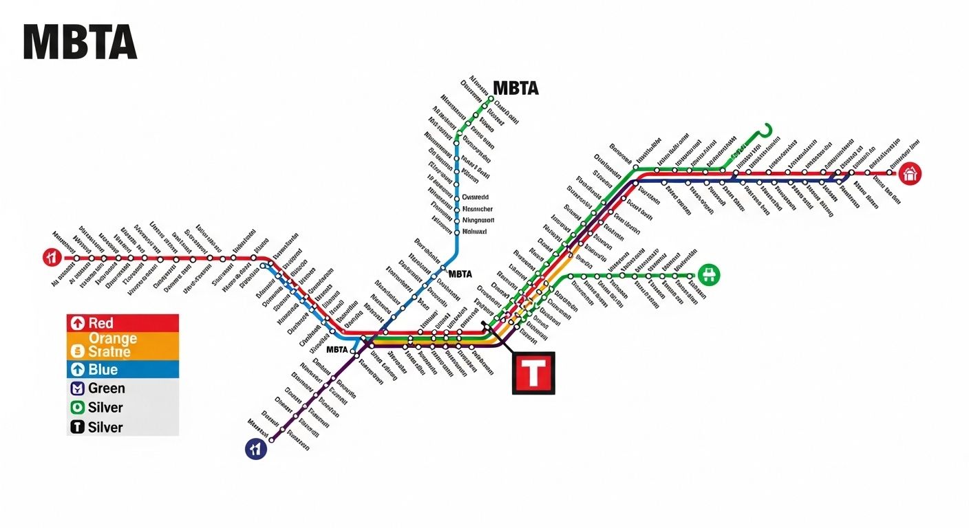
Decoding the Rainbow: What Are the MBTA Lines?
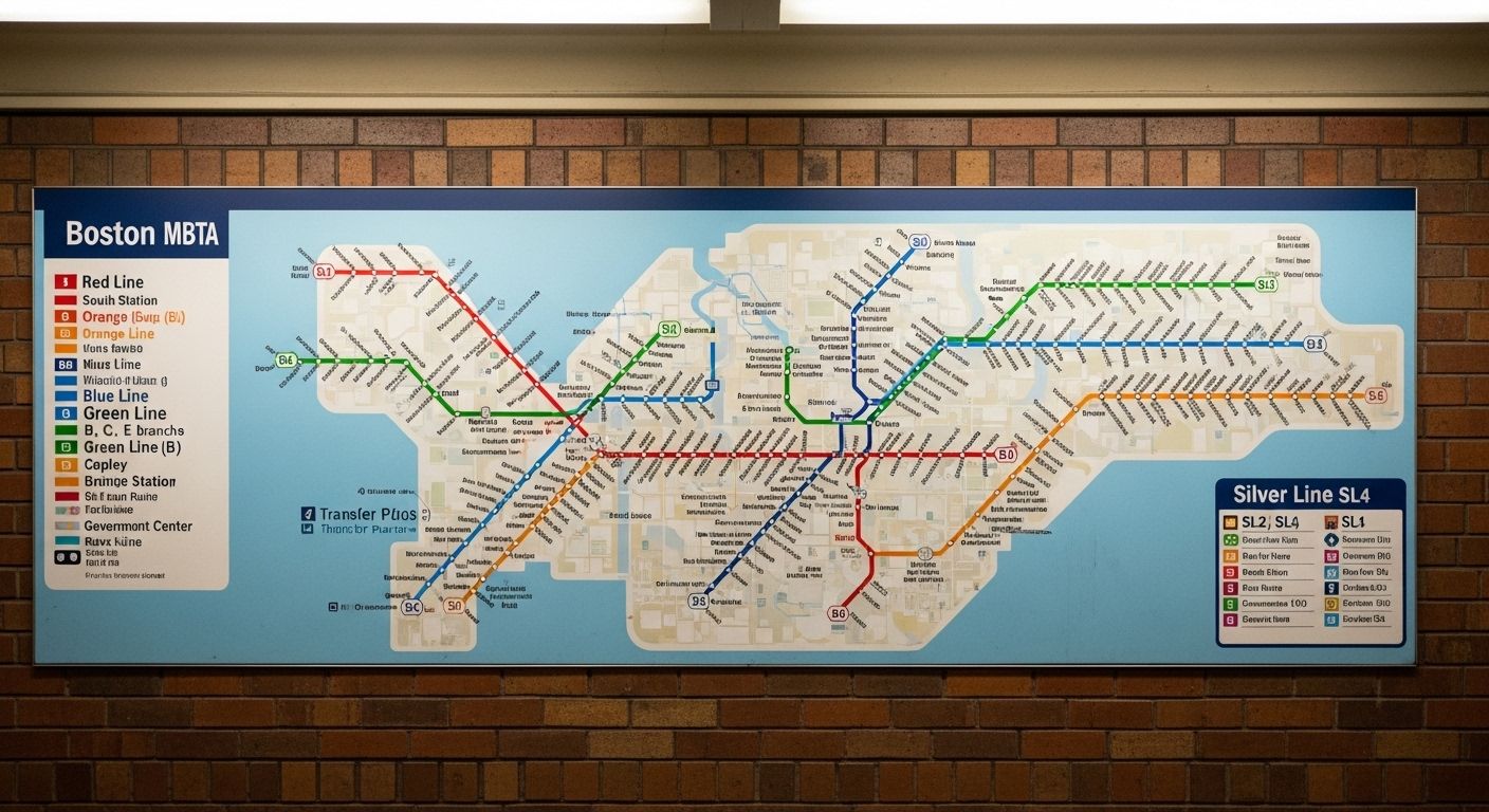
Let’s break down the colors on the mbta train map like we’re teachin’ a freshman at BU: - **Red Line**: Runs from Alewife (Cambridge) down to Ashmont or Braintree—passes MIT, Harvard, Downtown Crossing, and JFK/UMass. - **Orange Line**: From Oak Grove (Malden) to Forest Hills (Jamaica Plain)—cuts straight through the spine of the city. - **Blue Line**: From Bowdoin (downtown) to Wonderland (Revere Beach)—the only line that dives under Boston Harbor. - **Green Line**: The wildcard. Four branches (B, C, D, E) fanning out from Lechmere to Boston College, Cleveland Circle, Riverside, and Heath Street [[5]]. Each hue tells a story. The mbta train map isn’t just routes—it’s neighborhoods, histories, and daily rhythms painted in transit ink.
How to Read the MBTA Train Map Without Losing Your Mind
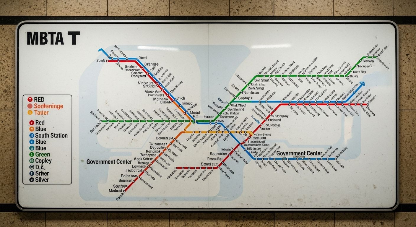
Okay, real talk: the mbta train map can look like a toddler spilled crayons on a napkin. But once you learn the logic, it clicks. Key things to know: - All lines converge downtown (Park St, Downtown Crossing, Government Center). - The Green Line branches split *after* Copley—so if you’re headin’ to BC, make sure it’s a **B train**, not a random E. - Transfer points are marked clearly: e.g., State = Blue + Orange; Park St = Red + Green. And pro tip: ignore geographic accuracy. The mbta train map is schematic—distances are compressed, angles are smoothed. It’s designed for clarity, not cartography. So don’t panic if Brookline looks closer to Revere than it really is. You’re not lost—you’re just readin’ art.
Seeing the Map IRL: Apps, Paper, and Google Tricks
Wanna see the mbta train map on your phone? Easy. Open Google Maps, type “MBTA,” and boom—the whole network pops up with live pins. But for the real deal, download the official **MBTA mTicket** or **Transit App**—they show real-time arrivals, service alerts, and even elevator outages [[6]]. Or go old-school: grab a paper map at any station (they’re free near the fare gates). There’s somethin’ poetic about unfoldin’ that glossy sheet on a rainy platform, planin’ your escape like a 1970s spy. The mbta train map lives everywhere—digital, analog, and in our muscle memory.
Is There an App for MBTA Subway? Oh, Honey—Several
Yup, there’s more than one app for the mbta train map. The MTA’s own **MBTA app** gives schedules, fares, and alerts. **Transit App** shows live vehicle locations and predicts arrival times down to the minute. **Citymapper**? Perfect for tourists—gives walking directions, bike-share options, and even warns you if a train’s packed. And let’s not forget **Google Maps**, which integrates MBTA data seamlessly. Whether you’re payin’ with CharlieCard or Apple Pay, these apps turn the mbta train map into your personal concierge. Just don’t rely on ‘em during Nor’easters—when the T shuts down, even tech bows to Mother Nature.
Ridership & Reality: Who’s Ridin’ the T?
Pre-pandemic, the mbta train map moved over **350,000 riders daily** on subway lines alone [[2]]. Post-2020, numbers dipped but are creepin’ back—especially as remote work fades and college kids return. Check this snapshot:
| Year | Avg. Weekday Subway Ridership |
|---|---|
| 2019 | 372,000 |
| 2022 | 210,000 |
| 2025 (est.) | 310,000 |
Neighborhood Gems Only Locals Know
The mbta train map unlocks Boston’s soul. At Porter Square? Hit Teaism for matcha lattes. At Savin Hill (Red Line)? Grab lobster rolls at Sullivan’s. At Union Square (Green Line D)? Sunset views over the Charles with zero tourists. And at Wonderland (Blue Line)? Walk the beach at dawn while the city sleeps. The mbta train map doesn’t just connect stops—it connects *lives*. And the best part? Most visitors never leave Downtown, so the magic stays quiet. Like a secret handshake between the city and its people.
Common Confusions (And How to Dodge ‘Em)
Alright, watch out for these mbta train map traps: - **Green Line branches**: B, C, D, E all look the same until you’re stranded in Cleveland Circle wonderin’ where BC is. - **Weekend shutdowns**: The T loves closin’ tracks for “maintenance”—always check alerts. - **Fare zones**: Commuter rail has zones, but subway? Flat fare ($2.40 as of 2026) [[6]]. And don’t call it “the subway” in front of a true Bostonian—they’ll side-eye you and say, “It’s the T, pal.” The mbta train map demands respect… and maybe a venti iced coffee to survive the wait.
Navigating Like a Native: Your T Survival Guide
Ready to ride the mbta train map like you’ve been doin’ it since the Big Dig? First, get a **CharlieCard**—it’s cheaper than paper tickets. Second, avoid rush hour if you hate human origami. Third, know your exits: Park St has like 12 staircases, and half lead to nowhere useful. Fourth, embrace the chaos—delays happen, but so do street musicians, spontaneous poetry readings, and that one barista who remembers your order. And if you’re hungry for more global transit wisdom, swing by Subway Life, explore our Maps section, or dive into another city’s veins with our guide to the seoul subway map pdf eases city navigation. The mbta train map ain’t just a route—it’s a rite of passage.
Frequently Asked Questions
Is the T in Boston a subway?
Yes, the T includes three heavy-rail subway lines (Red, Orange, Blue) that run underground in central Boston. The mbta train map also incorporates the Green Line (light rail), commuter rail, buses, and ferries, making it a comprehensive transit network beyond just subway service [[4]].
How to see subway map on Google Maps?
Open Google Maps, search “MBTA” or “Boston subway,” and the full mbta train map will appear with interactive lines and station markers. You can also enter a route, and Google will overlay the relevant segments of the mbta train map for your journey [[6]].
What are the MBTA lines?
The MBTA operates four rapid transit lines: Red, Orange, Blue, and Green. The mbta train map displays these as color-coded routes, with the Green Line further divided into B, C, D, and E branches serving different parts of Greater Boston [[5]].
Is there an app for MBTA subway?
Yes—multiple apps support the mbta train map, including the official MBTA app, Transit App, Citymapper, and Google Maps. These provide real-time arrivals, service alerts, trip planning, and fare payment options for seamless navigation across Boston’s transit system [[6]].
References
- https://www.mbta.com/schedules/subway
- https://en.wikipedia.org/wiki/MBTA_subway
- https://transitapp.com/en/region/boston/mbta/subway
- https://www.boston.gov/departments/transportation
- https://www.mbta.com/maps/subway
- https://www.mbta.com/fares
- https://new-york.metro-map.net/boston-mbta-subway-map/
- https://www.nytimes.com/interactive/2023/us/boston-mbta-ridership.html